
This is from a recent newsletter.
Many of the maps you can choose to use in BackCountry Navigator are free to use because they are from publicly available servers, and don't add ongoing costs.
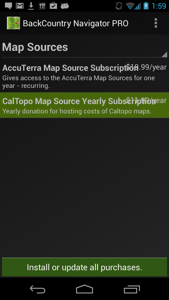
In another category are the AccuTerra maps. While not all people are interested in them, they do require a subscription fee because of licensing and server costs. While there are those who might find it a huge injustice that you would ever have to pay for maps, many more understand that such maps have ongoing costs.
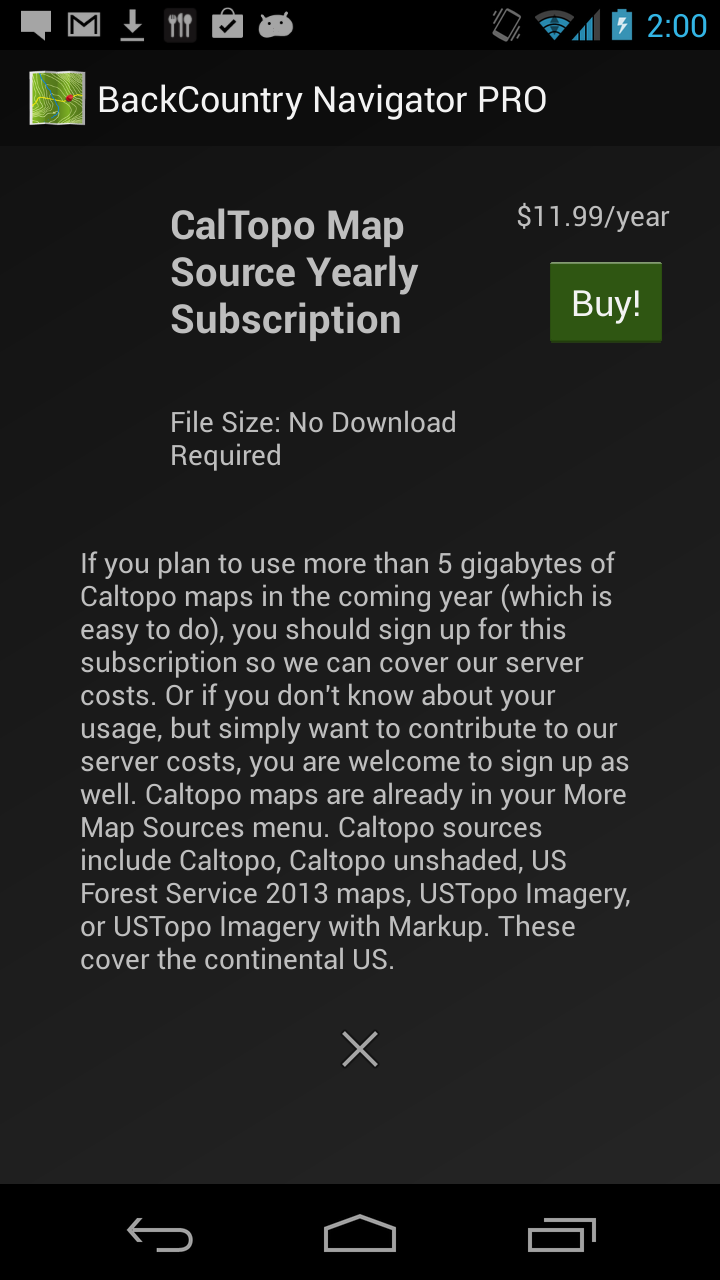
Another set of maps, which are free to you, but incur costs for us, are the CalTopo maps. This includes US Topo Imagery, USTopo Imagery with markup, and the great Forest Service maps. The costs of hosting these has actually been larger than the AccuTerra maps, mostly because more of you are using them, and have been using them for longer.
If you feel you have not been able to contribute enough for the use you have gotten out of these maps, you now have a chance to contribute. It is suggested that you purchase a subscription if you plan to use more than 5 gigabytes of total data from these maps in the next 12 months (which is easy to do). We are asking you to make a self assessment. We'd rather not try to track or meter maps to see who are the biggest users. We'd rather spend that time on more of the great features you have been asking for.
To do this in the app, go to Menu->Purchasing Addons and find Caltopo Yearly Subscription.

Some devices have a menu button that allows you to get to a menu, while others will show the three dots listed.
Comments
0 comments
Article is closed for comments.